M4.1 earthquake — south of the Fiji Islands
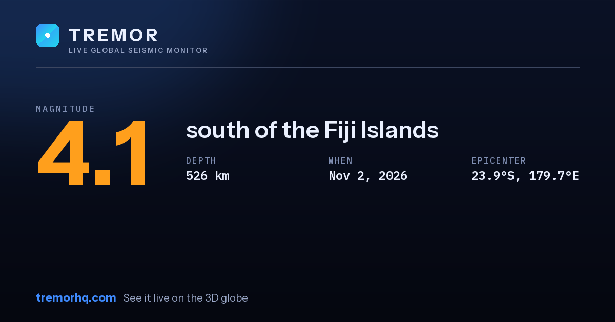
An magnitude 4.1 earthquake occurred south of the Fiji Islands on Nov 2, 2026 at 02:46 UTC. The epicenter was at a depth of 526 km — a deep earthquake. Deep quakes can be felt over very large distances but usually cause less surface damage than shallow ones.
Event data
| Magnitude | M4.1 |
|---|---|
| Depth | 526.4 km |
| Coordinates | -23.947, 179.711 |
| Time | Nov 2, 02:46 UTC |
| Location | south of the Fiji Islands |
| USGS event ID | us7000tuth |
What this magnitude typically means
Light earthquakes are felt by most people nearby but rarely cause damage. Distance, depth, and soil type determine whether a quake feels sharp or barely noticeable. Tremor does not compute a single local shaking figure here, because how strong a quake feels at any address depends on distance, depth and local geology — open the interactive globe to explore the ShakeMap and estimated intensity.
Nearby recent earthquakes
| Magnitude | Distance | Time (UTC) | Location |
|---|---|---|---|
| M4.4 | 42 km | Oct 30, 10:57 UTC | south of the Fiji Islands |
| M4.8 | 51 km | Oct 27, 15:31 UTC | south of the Fiji Islands |
| M4.3 | 87 km | Oct 30, 22:23 UTC | south of the Fiji Islands |
| M4.7 | 186 km | Nov 2, 14:05 UTC | south of the Fiji Islands |
See this quake on the live 3D globeShakeMap, seismogram and aftershock forecastGet earthquake alertsWatchlists with email, push and Slack
Source: USGS earthquake catalog. Automated readings may be revised. Not for emergency use.