M4.6 earthquake — 204 km NW of Port-Olry, Vanuatu
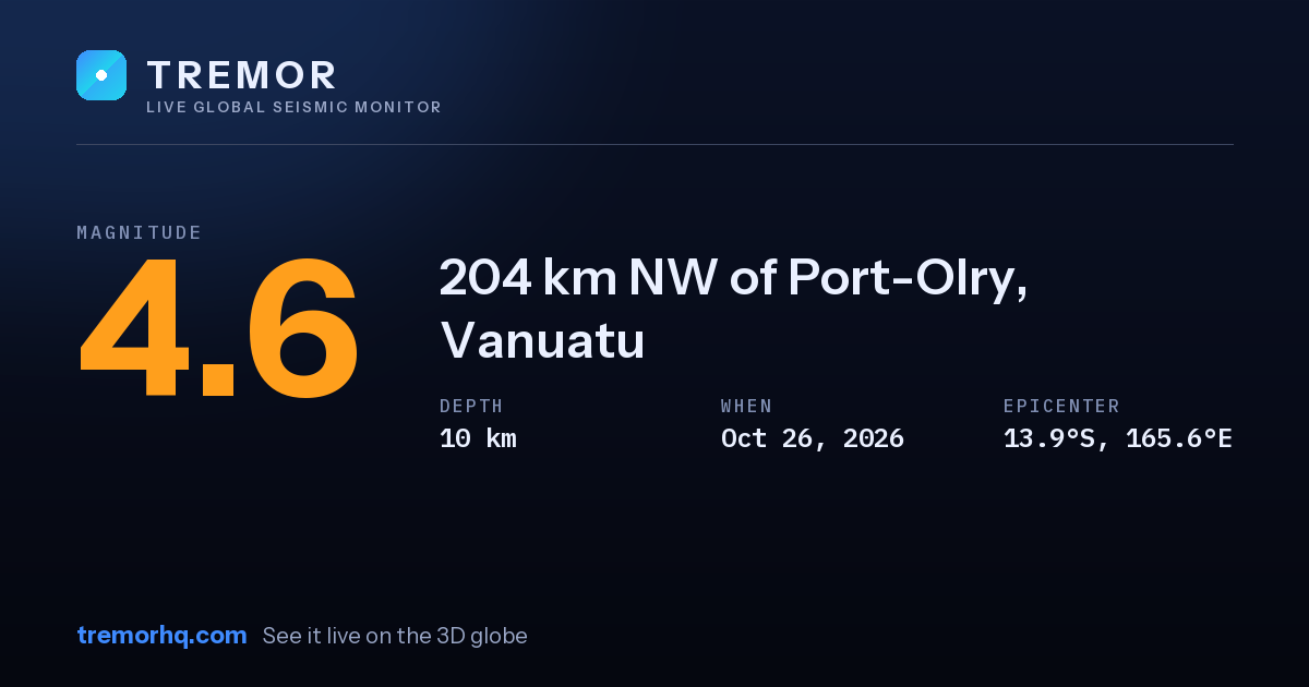
An magnitude 4.6 earthquake occurred 204 km NW of Port-Olry, Vanuatu on Oct 26, 2026 at 14:03 UTC. The epicenter was at a depth of 10 km — a shallow earthquake. Shallow quakes concentrate their energy near the surface, so they tend to produce stronger shaking close to the epicenter.
Event data
| Magnitude | M4.6 |
|---|---|
| Depth | 10.0 km |
| Coordinates | -13.899, 165.587 |
| Time | Oct 26, 14:03 UTC |
| Location | 204 km NW of Port-Olry, Vanuatu |
| USGS event ID | us7000tw1y |
What this magnitude typically means
Light earthquakes are felt by most people nearby but rarely cause damage. Distance, depth, and soil type determine whether a quake feels sharp or barely noticeable. Tremor does not compute a single local shaking figure here, because how strong a quake feels at any address depends on distance, depth and local geology — open the interactive globe to explore the ShakeMap and estimated intensity.
Nearby recent earthquakes
| Magnitude | Distance | Time (UTC) | Location |
|---|---|---|---|
| M4.8 | 55 km | Nov 9, 19:27 UTC | 149 km NW of Port-Olry, Vanuatu |
Earthquake activity in this area
Source: USGS earthquake catalog. Automated readings may be revised. Not for emergency use.