M5.2 earthquake — 132 km E of Bitung, Indonesia
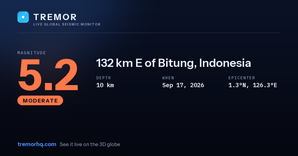
A moderate magnitude 5.2 earthquake occurred 132 km E of Bitung, Indonesia on Sep 17, 2026 at 06:20 UTC. The epicenter was at a depth of 10 km — a shallow earthquake. Shallow quakes concentrate their energy near the surface, so they tend to produce stronger shaking close to the epicenter.
Event data
| Magnitude | M5.2 |
|---|---|
| Depth | 10.0 km |
| Coordinates | 1.316, 126.309 |
| Time | Sep 17, 06:20 UTC |
| Location | 132 km E of Bitung, Indonesia |
| USGS event ID | us7000thzp |
What this magnitude typically means
Moderate earthquakes are widely felt and can cause light damage close to the epicenter. The shaking you actually experience depends on how far away you are and what kind of ground you are on. Tremor does not compute a single local shaking figure here, because how strong a quake feels at any address depends on distance, depth and local geology — open the interactive globe to explore the ShakeMap and estimated intensity.
Nearby recent earthquakes
| Magnitude | Distance | Time (UTC) | Location |
|---|---|---|---|
| M4.7 | 41 km | Sep 12, 05:08 UTC | 94 km WNW of Ternate, Indonesia |
| M5.6 | 241 km | Sep 14, 10:58 UTC | 78 km NNE of Tobelo, Indonesia |
Source: USGS earthquake catalog. Automated readings may be revised. Not for emergency use.