M4.8 earthquake — 108 km NNW of Batang, Indonesia
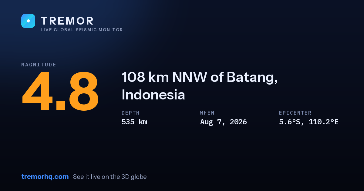
An magnitude 4.8 earthquake occurred 108 km NNW of Batang, Indonesia on Aug 7, 2026 at 14:07 UTC. The epicenter was at a depth of 535 km — a deep earthquake. Deep quakes can be felt over very large distances but usually cause less surface damage than shallow ones.
Event data
| Magnitude | M4.8 |
|---|---|
| Depth | 535.0 km |
| Coordinates | -5.638, 110.219 |
| Time | Aug 7, 14:07 UTC |
| Location | 108 km NNW of Batang, Indonesia |
| USGS event ID | us6000tixn |
What this magnitude typically means
Light earthquakes are felt by most people nearby but rarely cause damage. Distance, depth, and soil type determine whether a quake feels sharp or barely noticeable. Tremor does not compute a single local shaking figure here, because how strong a quake feels at any address depends on distance, depth and local geology — open the interactive globe to explore the ShakeMap and estimated intensity.
Earthquake activity in this area
See this quake on the live 3D globeShakeMap, seismogram and aftershock forecastGet earthquake alertsWatchlists with email, push and Slack
Source: USGS earthquake catalog. Automated readings may be revised. Not for emergency use.