M2.6 earthquake — 103 km S of False Pass, Alaska
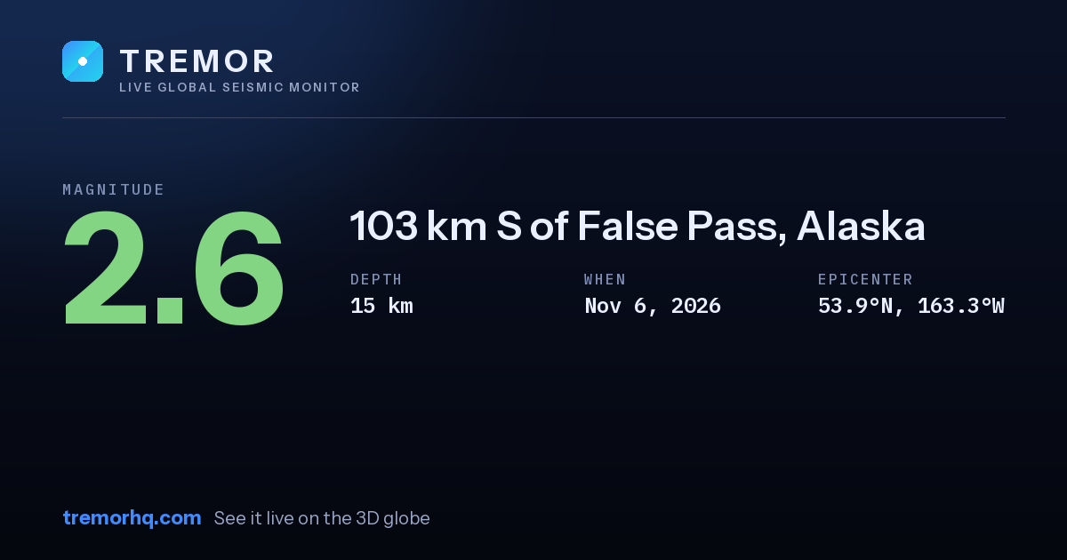
An magnitude 2.6 earthquake occurred 103 km S of False Pass, Alaska on Nov 6, 2026 at 18:57 UTC. The epicenter was at a depth of 15 km — a shallow earthquake. Shallow quakes concentrate their energy near the surface, so they tend to produce stronger shaking close to the epicenter.
Event data
| Magnitude | M2.6 |
|---|---|
| Depth | 15.2 km |
| Coordinates | 53.925, -163.251 |
| Time | Nov 6, 18:57 UTC |
| Location | 103 km S of False Pass, Alaska |
| USGS event ID | aka2026waeruf |
What this magnitude typically means
Very small earthquakes are usually only detected by instruments and are rarely felt. They are a normal part of background seismic activity. Tremor does not compute a single local shaking figure here, because how strong a quake feels at any address depends on distance, depth and local geology — open the interactive globe to explore the ShakeMap and estimated intensity.
Nearby recent earthquakes
| Magnitude | Distance | Time (UTC) | Location |
|---|---|---|---|
| M2.6 | 4 km | Nov 6, 18:50 UTC | 107 km S of False Pass, Alaska |
| M2.7 | 28 km | Nov 6, 10:19 UTC | 100 km SSE of False Pass, Alaska |
| M2.6 | 30 km | Nov 6, 14:14 UTC | 128 km SSE of False Pass, Alaska |
| M2.5 | 30 km | Nov 6, 20:30 UTC | 123 km SSE of False Pass, Alaska |
| M2.8 | 31 km | Nov 6, 01:15 UTC | 131 km SSE of False Pass, Alaska |
| M2.8 | 33 km | Nov 6, 07:20 UTC | 132 km SSE of False Pass, Alaska |
Earthquake activity in this area
See this quake on the live 3D globeShakeMap, seismogram and aftershock forecastGet earthquake alertsWatchlists with email, push and Slack
Source: USGS earthquake catalog. Automated readings may be revised. Not for emergency use.